Close
Close
Feedback
Close
Search on the site
Close
Have any questions?
Close
-
Sign in
-
Registration
Close
-
Sign in
-
Registration
Close
Forgot your password?

Material-technical base
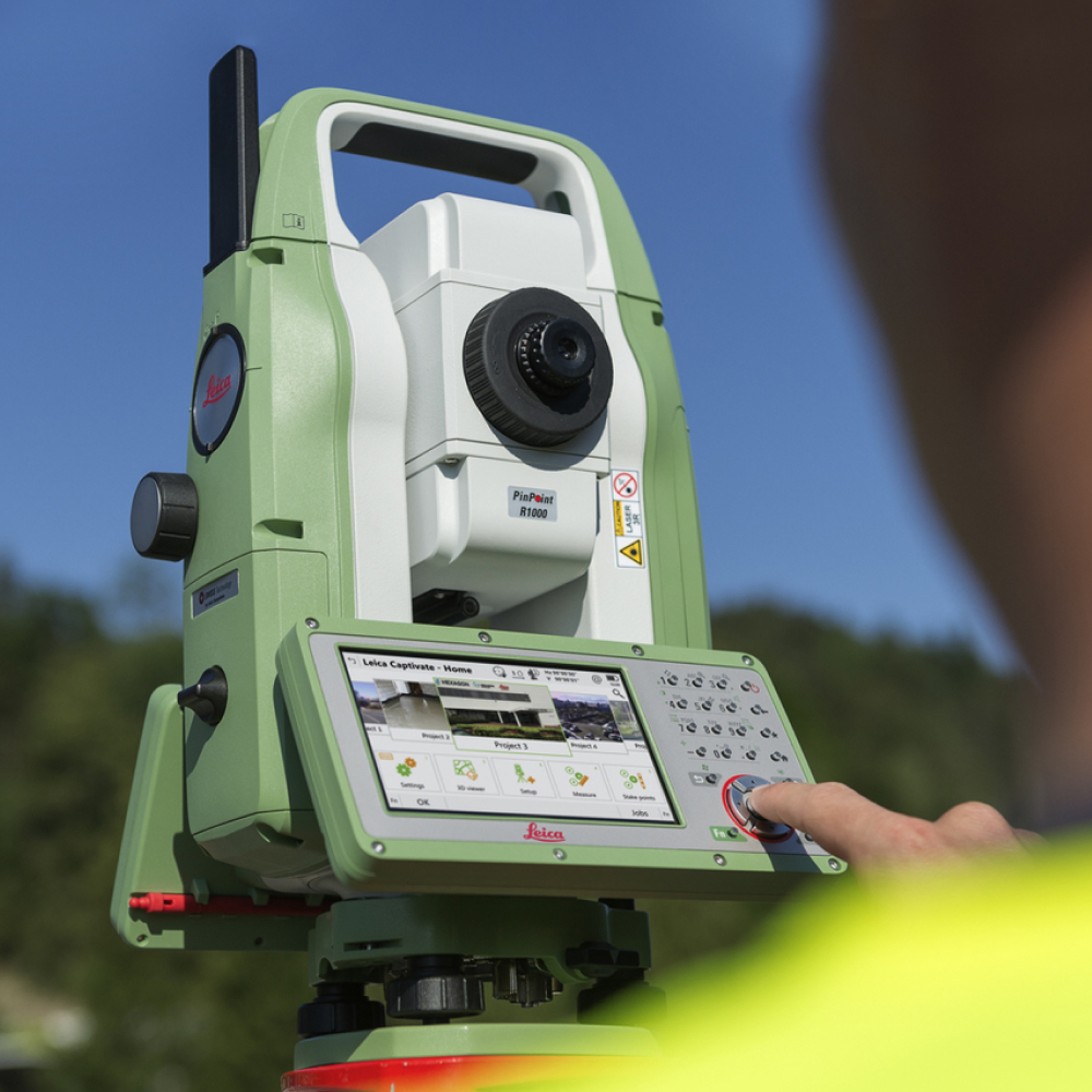
Tacheometer Leica TS10 3″ R500
The Leica FlexLine TS10 tacheometer is designed for the most efficient solution of daily professional tasks in the field of geodesy, cartography and civil engineering.
The highest measurement speed combined with the most modern technologies of 3D visualization and data transfer, as well as the advanced internal software Leica Captivate – all this makes the Leica TS10 FlexLine series the most productive optical-mechanical tacheometer available today.
- Automatic height measurement function of the AutoHeight tool;
- Data exchange via Wi-Fi, Bluetooth®, USB drive and SD memory card;
- LTE modem for Internet access (optional);
- High accuracy of linear measurements – 1 mm + 1.5 ppm;
- High measurement speed – 2.4 seconds;
- The range of measurements in reflection-free mode is 500 m or 1000 m;
- Dust and moisture protection standard IP66;
- Visible laser, coaxial with the sighting axis;
- Notes as images – take a photo, open a map or template, draw an outline directly on the display or link a drawing to any object in the database (for TS10 I modification);
- Ability to use the viewfinder of a digital camera to point (for TS10 I modification).

Have any questions?
Planning construction?
Ask our consultant a question or read the documents.